Contour Street (Coming Soon)
At Contour Street, we believe maps are more than navigation tools—they’re windows into geography, history, exploration, and human connection. Whether you’re tracing ancient trade routes, exploring topographic detail, or designing digital maps of your own, Contour Street is your destination for everything map-related—art, science, and storytelling in perfect harmony.
Contour Street is powered by cartographers, geographers, artists, travelers, historians, and map enthusiasts who are passionate about the power of mapping. We dive into the beauty and utility of maps—covering everything from classic atlas pages and raised relief designs to modern GIS systems and custom visualizations.
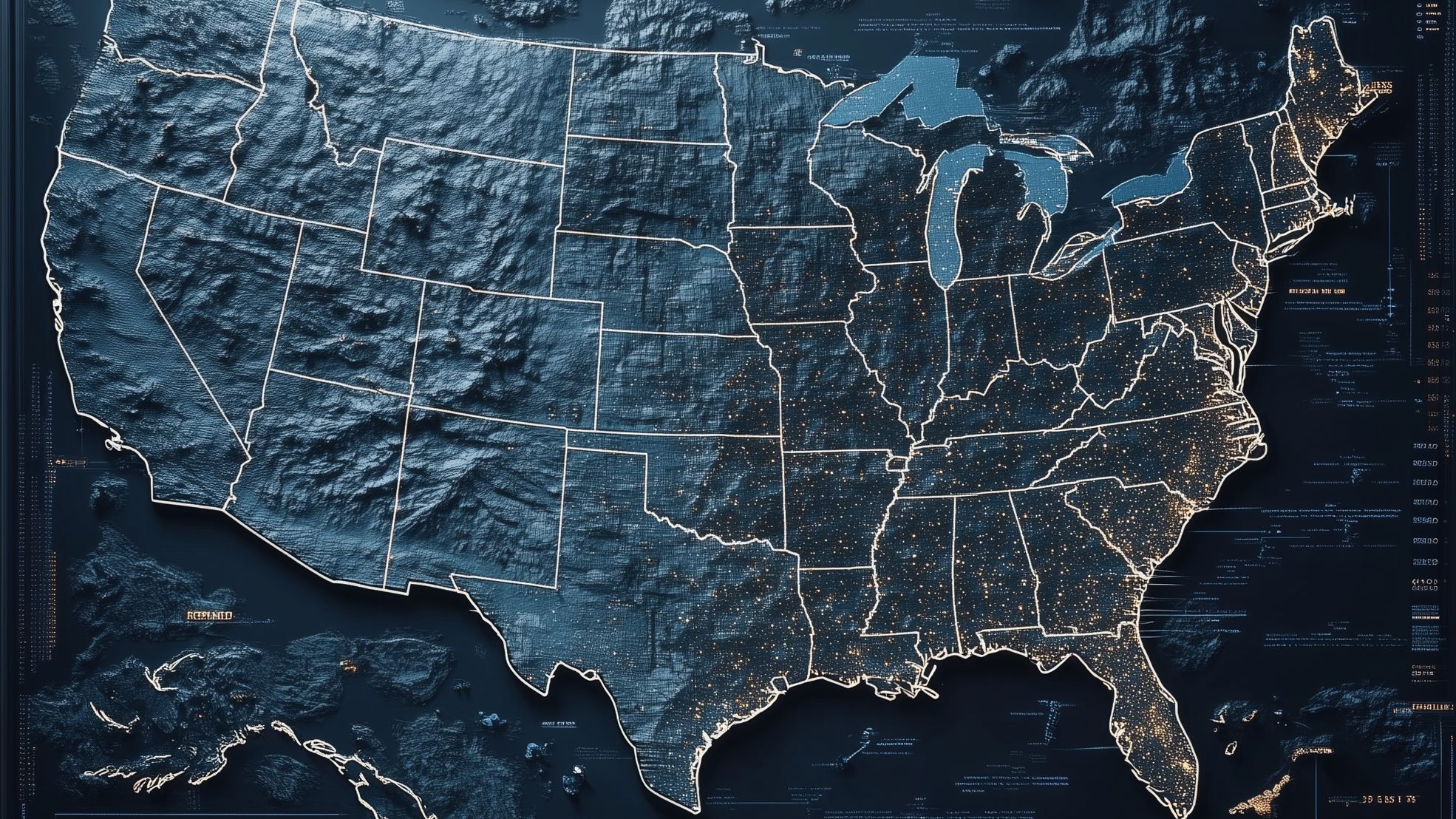
We explore all types of maps: physical, political, thematic, historical, and topographic. Whether you’re fascinated by elevation lines, satellite imaging, map projections, or artistic mapmaking, we offer deep insights, practical tutorials, and compelling visuals that help you see the world through a new lens—layer by layer.
Contour Street is for anyone drawn to maps—students, explorers, educators, designers, and hobbyists alike. We provide curated resources, map design tips, educational explainers, and explorations into how maps shape our understanding of space, place, and possibility. Welcome to Contour Street—where every contour has meaning, every map tells a story, and the journey is just as fascinating as the destination.